| 5th June |
7 miles |
Derek |
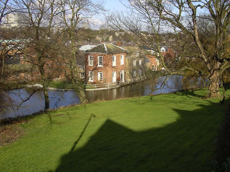
Start: Low Bradfield car park. Route: West along the north side of Agden reservoir for a while then north and uphill by side of a wood, along a level path with good views, then pass White Lee Moor to minor road. West along minor road and then south on farm track to reach junction of minor roads near Smallfield. Follow a different more direct path down via High Bradfield. |
| Start: Low Bradfield car park. Route: West along the north side of Agden reservoir for a while then north and uphill by side of a wood, along a level path with good views, then pass White Lee Moor to minor road. West along minor road and then south on farm track to reach junction of minor roads near Smallfield. Follow a different more direct path down via High Bradfield. |
| 12th June |
6½ miles |
Dave M |
Start: Over Haddon, what3words: demand.candle.meatball. Limited road parking, car park £2 all-day. Route: Youlgreave, Bradford Dale, Alport and Lathkill Dale. 2 stops. |
| Start: Over Haddon, what3words: demand.candle.meatball. Limited road parking, car park £2 all-day. Route: Youlgreave, Bradford Dale, Alport and Lathkill Dale. 2 stops. |
| 19th June |
6.8 miles |
John and Jan |
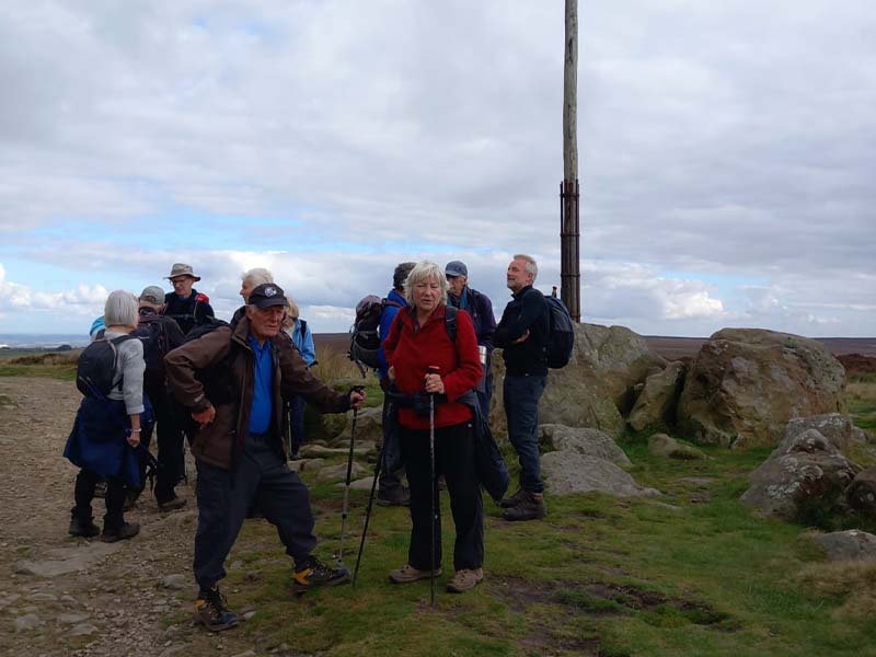
Start: Longnor - SatNav: SK17 0PA Route: Chrome Hill - Earl Sterndale - Longnor. Height gain: 1476.38 Feet: Map: Explorer OL 24. When viewed from the A53 at Axe Edge between Leek and Buxton, Chrome Hill stands out from the surrounding countryside, looking just like a dragon's back covered in rich velvet grass. This is the object of this walk starting from the 'Peak Practice' village of Longnor. Once on top the views are well worth the ascent, with large parts of Staffordshire and Derbyshire at your feet. Continuing, the walk makes its way to the quiet, peaceful village of Earl Sterndale before returning to Longnor across undulating meadowland. |
| Start: Longnor - SatNav: SK17 0PA Route: Chrome Hill - Earl Sterndale - Longnor. Height gain: 1476.38 Feet: Map: Explorer OL 24. When viewed from the A53 at Axe Edge between Leek and Buxton, Chrome Hill stands out from the surrounding countryside, looking just like a dragon's back covered in rich velvet grass. This is the object of this walk starting from the 'Peak Practice' village of Longnor. Once on top the views are well worth the ascent, with large parts of Staffordshire and Derbyshire at your feet. Continuing, the walk makes its way to the quiet, peaceful village of Earl Sterndale before returning to Longnor across undulating meadowland. |
| 26th June |
Distance TBC |
Leader TBC |
Start: TBC Route: TBC |
| Start: TBC Route: TBC |
| 3rd July |
Distance TBC |
Leader TBC |
Start: TBC Route: TBC |
| Start: TBC Route: TBC |
| 10th July |
Distance TBC |
Leader TBC |
Start: TBC Route: TBC |
| Start: TBC Route: TBC |
| 17th July |
Distance TBC |
Leader TBC |
Start: TBC Route: TBC |
| Start: TBC Route: TBC |
| 24th July |
Distance TBC |
Leader TBC |
Start: TBC Route: TBC |
| Start: TBC Route: TBC |
| 31st July |
Distance TBC |
Leader TBC |
Start: TBC Route: TBC |
| Start: TBC Route: TBC |